Tāhuna Glenorchy
Winterstellar Astronomical Site
Established November 27th 2024
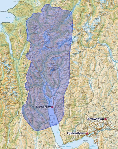
The Tāhuna Glenorchy Winterstellar Astronomical Site encompasses 215,000 ha of land from Bennett’s Bluff to the South, the tops of the Richardson and Humbolt Ranges to the East and West and the Northern Boundary of Mt. Aspiring National Park to the North.
Situated largely within the Te Wāhipounamu UNESCO World Heritage Site in Tititea Mt. Aspiring National Park, it offers visitors outstanding dark skies and a wide variety of opportunities to access and learn about the dark skies. Over 160,000 ha of the project area (more than 75%) falls within World Heritage.
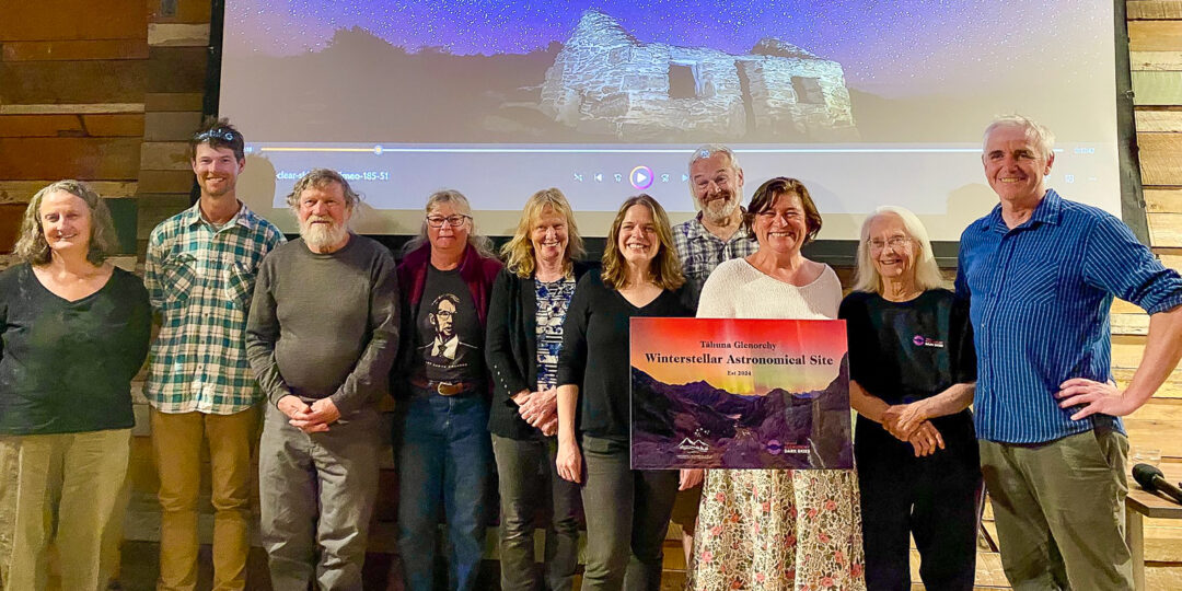
This recognition acknowledges the wonderful job the Glenorchy team have done in putting together a compelling application for international Dark Sky Sanctuary status. The WAS program is design to help and bring together all local groups as the first step in achieving international Dark Sky Place status.
Night Sky Brightness
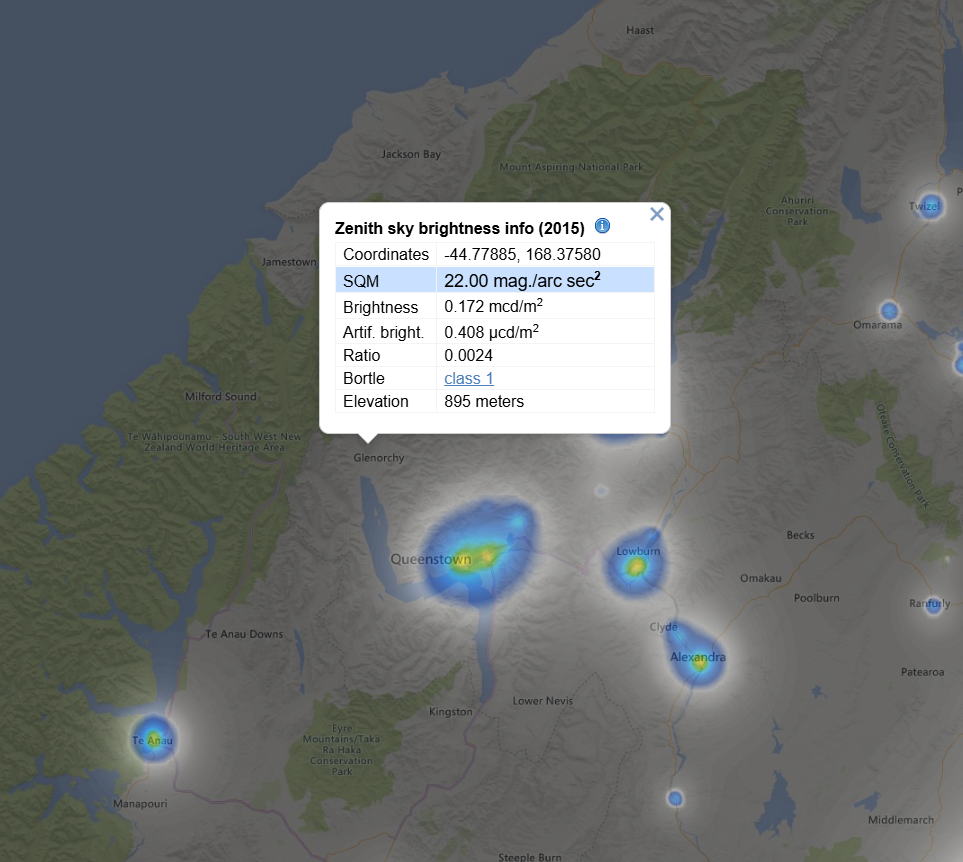
The night sky brightness of the Tāhuna Glenorchy Astro Site is 0.172 mcd/m2. Bortle Class 1.
https://www.lightpollutionmap.info/#zoom=7.51&lat=-44.5845&lon=168.5330
The Tāhuna Glenorchy Dark Sky Team

For more information about the team go to: https://glenorchydarkskies.org.nz/
